
Indiana Thermal Drone Services
We Find What Others Can't.
Professional thermal drone services for hunters, landowners, and farmers across Indiana. When the trail goes cold — we deploy.
What We Do
Thermal Drone Services
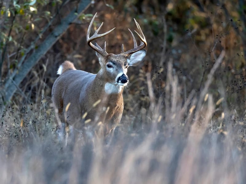
Deer Recovery & Wildlife
You made the shot. We find the deer. Thermal drone searches, herd surveys, and wildlife observations — day or night, in any cover.

Agriculture & Land Management
Aerial property surveys, crop inspections, livestock monitoring, wildlife impact assessments, and habitat mapping for farmers and landowners.

Construction & Mapping
Progress photos, site documentation, orthomosaic mapping, 3D modeling, stockpile measurements, and jobsite inspections.

Off-Road Aerial Media
Cinematic 4K footage of RZRs, ATVs, dirt bikes, rock crawlers, and group rides. Epic content for social media and showcases.

Aerial Photography & Video
High-resolution aerial photos and 4K video for real estate, business promotions, events, and before-and-after documentation.

Thermal Imaging
Our DJI Matrice 4T detects heat signatures for wildlife searches, property inspections, equipment checks, and search & rescue support.
The Process
Simple Process. Serious Results.
You Call
Reach out as soon as possible after the shot or incident. The sooner we deploy, the better the thermal signature.
We Deploy
We mobilize quickly across Indiana with professional thermal drone equipment, ready to cover your terrain day or night.
You Recover
We guide you directly to the animal using live thermal feed. No more grid-searching in the dark — just results.
The Technology
Why Thermal Drones?
A thermal camera detects body heat — not reflected light. That means we see through darkness, fog, and dense brush that stops every other search method cold. What takes hours of grid-searching on foot, we cover in minutes from the air.
Lost a deer? We can help.
Don't wait a couple of days. The sooner we deploy, the better your chances. We serve all of Indiana — call or message us now.
Request a Recovery